Weather is one of the biggest factors in creating supply chain volatility and risk. Hurricanes, winter blizzards, flooding, earthquakes, volcanoes and fires all cause significant challenges for the movement of freight.
SONAR’s supply chain weather monitoring and analytics help you monitor risk and access current radar maps and temperature information so that you can anticipate conditions that may impact your shipments.
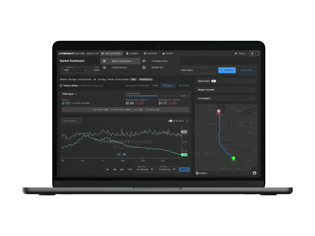
SONAR Critical Events is a highly effective tool for shippers, brokers, carriers and drivers to get ahead of Mother Nature. Impact regions are highlighted days in advance of major weather events. Costly disruptions in freight movement can occur on rails, runways and intermodal ramps, not just on roads. Within a potential impact region, Critical Events utilizes color codes for assets such as airports, sea ports and railroads based on threat level and indicates how long the threat will last. Overlays of radar, temperature, precipitation and wind forecasts, National Weather Service warnings and traffic information complete the picture. Critical Events, along with SONAR’s vast freight market data, can help those in the freight transportation industry make better re-routing decisions regarding driver safety and their bottom lines.
Our Critical Events widget is a very powerful tool that can map out severe weather watches and warnings, hurricane paths, earthquake impacts, controlled power outages and areas impacted by fires. This tool can help to determine what assets will be impacted (airports, seaports, canals, etc.).
In addition, SONAR’s Critical Event Center offers unparalleled views of major weather events and natural disasters to assist companies and organizations involved in relief operations in managing their networks.
